Bell's Swamp
Bell’s Swamp (2012)

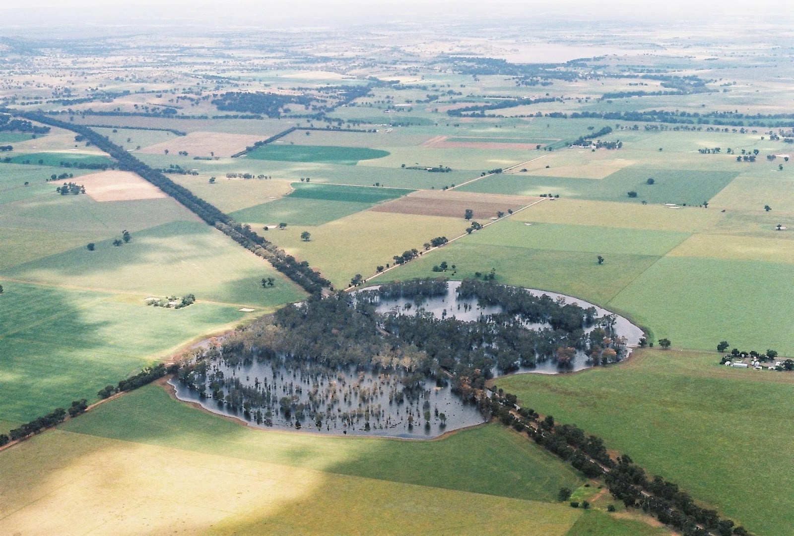
Bell’s Swamp was a longterm research project, investigating a recurring water body of the same name in Central Victoria. The shallow basin of the swamp is situated at the intersection of both roads and fenced off areas of farmland. For the majority of the time the swamp is dry. Lying dormant, it is home to a large collection of native trees, a few dams, sheep and some introduced weeds. However, once every fifty years or so heavy rain falls over the area. When the surrounding paddocks become completely waterlogged the swamp is filled with runoff. As the water level rises, the three roads that cross at its centre become submerged, the trees get wet feet and the dams that were dug into the soil during the drought are faced with an inversion of the relationship between earth and water. Bell’s Swamp was an investigation into the material, spatial and socio-economic conditions that form this site.